DJI D-RTK 2 Mobile Station

Centimetre Precision, Wherever You Work

DJI D-RTK 2 Mobile Station

Centimetre Precision, Wherever You Work

DJI D-RTK 2 Mobile Station is a high-precision GNSS receiver designed to improve positioning accuracy for professional DJI drone operations. It supports centimetre-level data for surveying, mapping, and inspection workflows, while also serving as a mobile base station for compatible DJI enterprise and prosumer aircraft.

Centimetre-Level Accuracy

Provides high-precision differential corrections to improve surveying, mapping, and inspection results.

Supports Major GNSS Systems

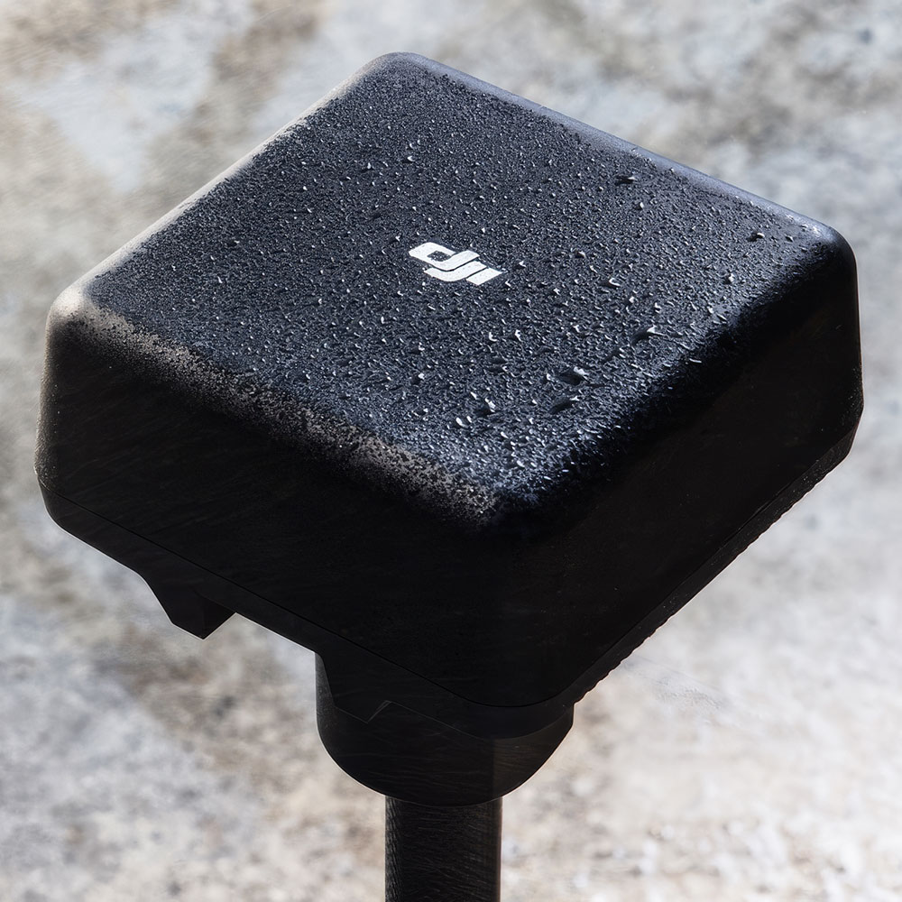
Tracks major global satellite navigation systems for stronger positioning reliability in the field.

Real-Time Differential Corrections

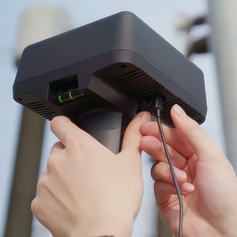
Delivers correction data in real time to help compatible DJI aircraft achieve more accurate positioning.

Field-Ready Mobile Base

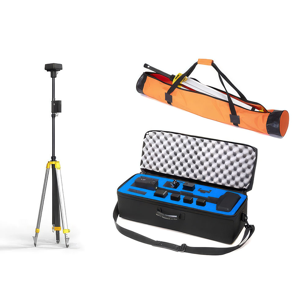
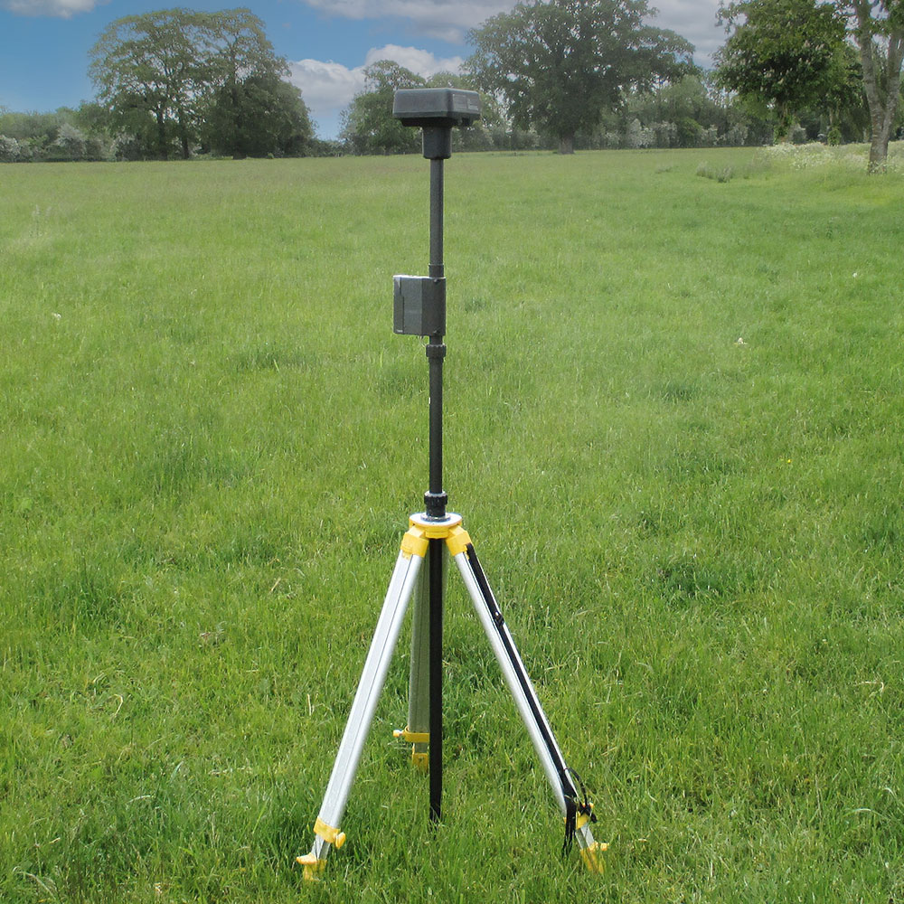
Designed as a deployable mobile base station rather than a fixed installation, giving teams more flexibility on site.

Broad DJI Compatibility

Works across compatible DJI enterprise and prosumer RTK workflows for more practical day-to-day use.

Wherever You Work

Built to strengthen precision and workflow confidence for professional drone operations in changing field conditions.

Centimetre precision, wherever you work

DJI D-RTK 2 Mobile Station is a high-precision GNSS receiver designed to improve the positioning accuracy of professional DJI drone operations, delivering real-time differential corrections for surveying, mapping, and inspection workflows.

Centimetre-level accuracy

DJI positions the D-RTK 2 around centimetre-level positioning data, helping compatible aircraft achieve more accurate relative positioning in the field.

Supports major GNSS systems

The station supports major global satellite navigation systems, helping strengthen positioning reliability across professional workflows.

Built for professional RTK work

The D-RTK 2 is presented as DJI’s upgraded high-precision GNSS receiver for enterprise and prosumer mapping, inspection, and survey operations.

Stable correction data in the field

Beyond raw positioning accuracy, DJI presents the D-RTK 2 as a practical field tool that helps maintain dependable correction data across changing operational environments.

4G, OcuSync, Wi-Fi, and LAN

DJI states that the mobile station supports communication via 4G, OcuSync, Wi-Fi, and LAN, helping maintain stable data transmission under different application scenarios.

Up to 5 remote controllers

When used with supported DJI platforms, up to five remote controllers can connect to one D-RTK 2 Mobile Station at the same time.

Smarter setup and measurement support

The D-RTK 2 also includes built-in motion and setup aids to make field deployment and use more practical for professional teams.

6-axis IMU

The built-in high-precision 6-axis accelerometer supports movement monitoring and helps strengthen setup awareness during use.

Sloping measurements

DJI product information highlights sloping measurements and an electronic bubble level, helping operators work more effectively in uneven field conditions.

Field-ready construction

The D-RTK 2 is also built for outdoor professional use, giving teams a more dependable positioning tool beyond controlled office or lab environments.

IP65 protection

Its IP65 rating helps protect the station against dust and water exposure during outdoor operations.

Rover station support

DJI product information notes rover-station use, making the D-RTK 2 useful not only for aircraft correction but also for broader geospatial field workflows.
Disclaimer

All above specs are subject to change by the original manufacturer. Please always consult the actual product’s page on the original manufacturer’s website for up to date information and data notes

Filters

Product Category
Product Category
Brand
Brand
Industry
Industry
Capability
Capability