
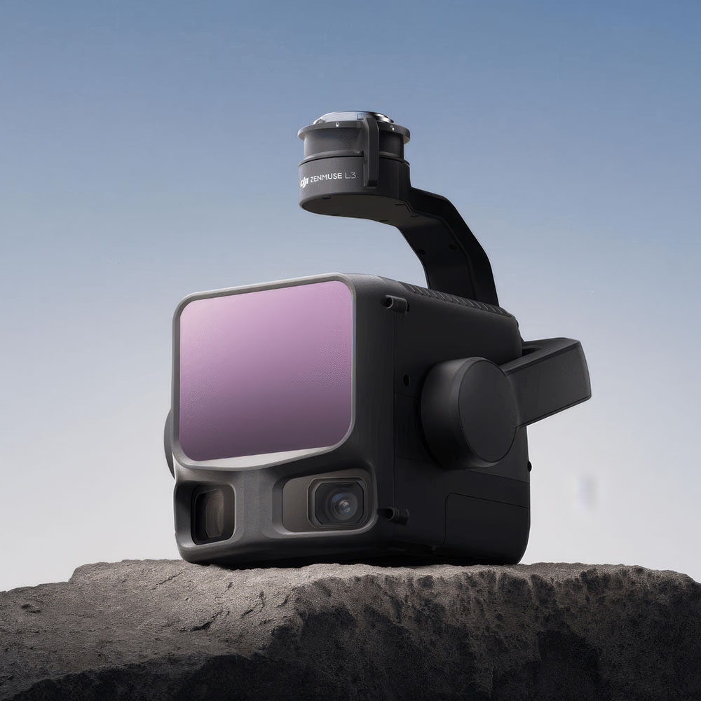
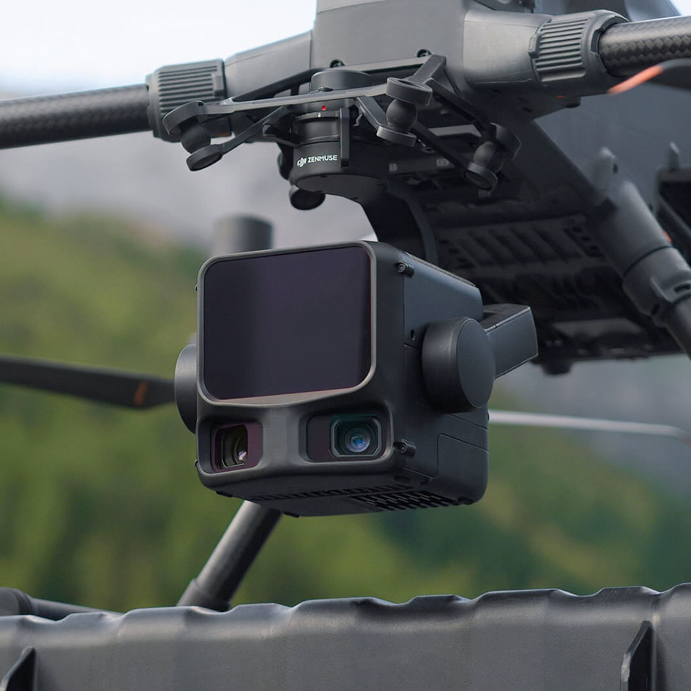
1535 nm LiDAR reaches up to 950 m, helping teams capture data efficiently across larger and more complex sites.
High-resolution dual mapping cameras add richer visual data alongside LiDAR capture.
Integrated high-precision POS system supports professional geospatial work with stronger data confidence.
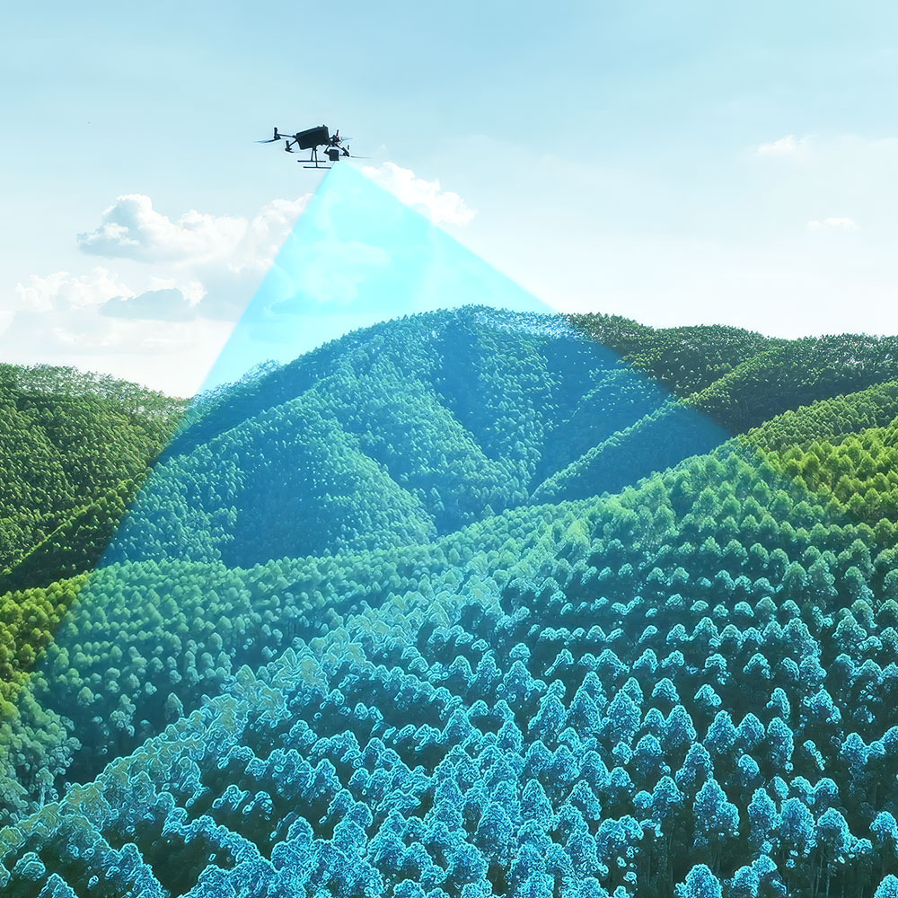
Designed to capture useful data through more challenging surface and vegetation conditions.
High daily coverage helps operators complete large-area mapping projects faster.
Works as part of a broader DJI geospatial workflow for capture, processing, and delivery.
All above specs are subject to change by the original manufacturer. Please always consult the actual product’s page on the original manufacturer’s website for up to date information and data notes