DJI Zenmuse P1

The New Benchmark for Aerial Surveying

DJI Zenmuse P1

The New Benchmark for Aerial Surveying

DJI Zenmuse P1 is a full-frame photogrammetry payload built for professional aerial surveying and mapping. It combines a 45 MP full-frame sensor with interchangeable fixed-focus lenses on a 3-axis stabilised gimbal, delivering a high-efficiency solution for accurate data capture across demanding geospatial workflows.

The New Benchmark for Aerial Surveying

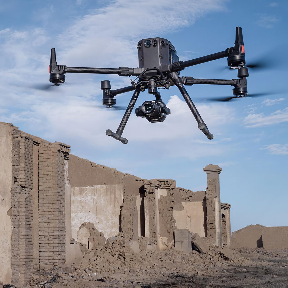
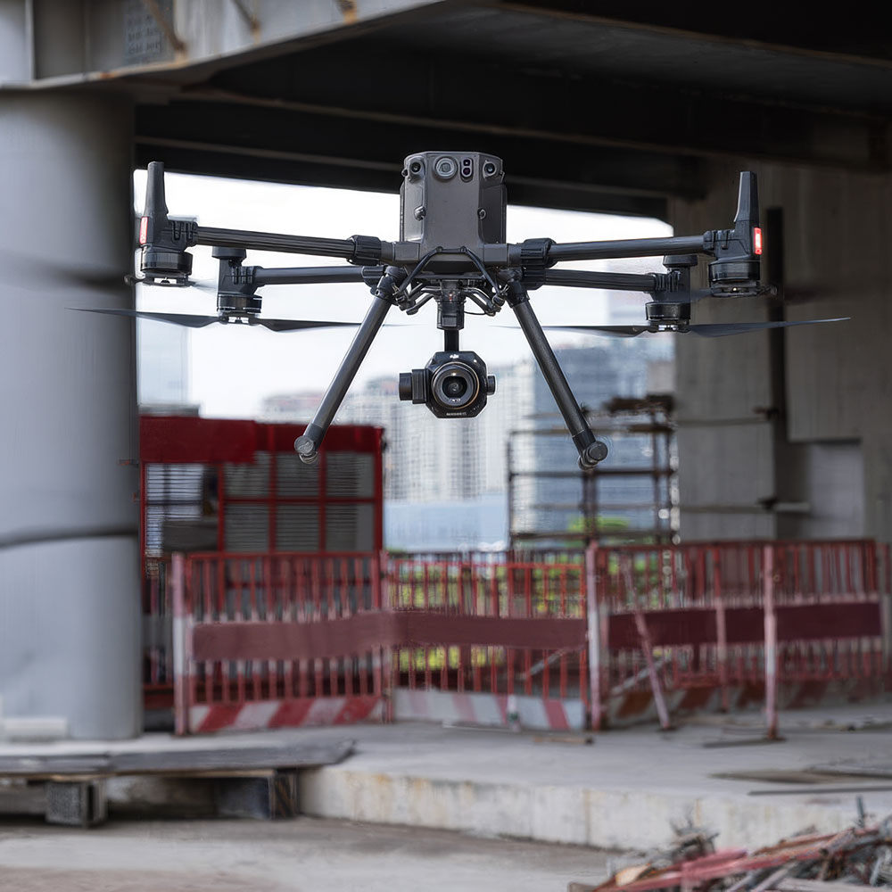
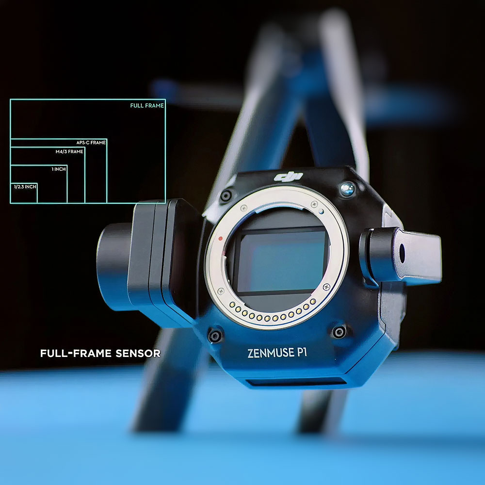
Full-frame photogrammetry design is built to raise efficiency and accuracy in professional aerial surveying workflows.

45 MP Full-Frame Sensor

High-resolution imaging supports detailed capture and stronger results across mapping and modelling projects.

High Efficiency

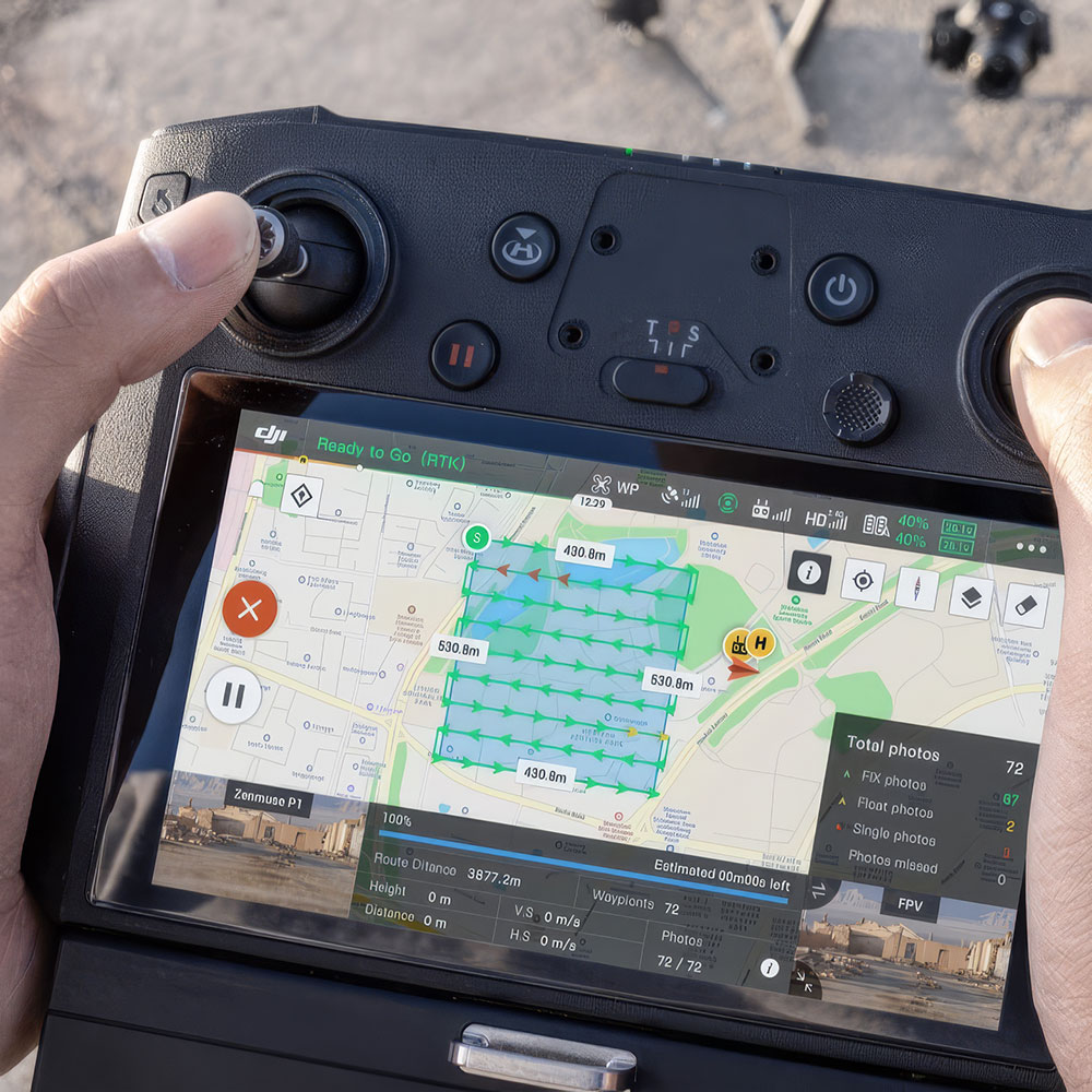
Covers up to 3 km² in a single flight, helping operators complete large-area survey work faster.

Accuracy Without GCPs

Delivers high-accuracy mapping performance even in workflows designed to minimise ground control points.

Global Mechanical Shutter

Fast shutter performance helps reduce distortion and improve image quality during flight capture.

Smart Oblique Capture

3-axis stabilisation and intelligent oblique capture help streamline photogrammetry data collection from multiple angles.

The new benchmark for aerial surveying

DJI Zenmuse P1 is a full-frame photogrammetry payload built for professional aerial surveying and mapping, combining a 45 MP sensor, interchangeable fixed-focus lenses, and a stabilised gimbal for high-efficiency geospatial capture.

45 MP full-frame sensor

The full-frame, low-noise, high-sensitivity sensor is designed to capture detailed mapping data at professional quality.

Interchangeable fixed-focus lenses

Support for interchangeable fixed-focus lenses gives survey teams more flexibility to adapt the payload to different project needs.

3-axis stabilised gimbal

The integrated 3-axis stabilised gimbal helps maintain cleaner, more reliable image capture during demanding flight missions.

Built for faster photogrammetry

DJI positions the Zenmuse P1 around speed as well as quality, helping teams capture more area in less time while keeping survey workflows efficient.

3 km² covered in a single flight

DJI highlights coverage of up to 3 square kilometres in a single flight, helping survey teams complete larger projects faster.

Photo every 0.7 seconds

High-frequency image capture supports efficient aerial surveying and helps maintain productivity on large-area missions.

Accuracy where it counts

The P1 is also designed around dependable survey accuracy, helping operators produce stronger deliverables without adding unnecessary complexity in the field.

Global mechanical shutter

A global mechanical shutter with speeds up to 1/2000 s helps reduce distortion and support cleaner mapping results during flight.

High absolute accuracy

DJI lists absolute accuracy of 3 cm horizontal and 5 cm vertical under stated mapping conditions, supporting more dependable geospatial outputs.

A complete surveying workflow

DJI presents the Zenmuse P1 as part of a broader surveying solution, helping teams move from capture to mapping deliverables in a more connected way.

Smart oblique capture

Smart oblique capture helps streamline multi-angle photogrammetry work and supports more efficient 3D modelling workflows.

Broad aircraft support

The payload is supported on Matrice 300 RTK, Matrice 350 RTK, and Matrice 400, giving enterprise teams a practical route into high-end aerial surveying.
Disclaimer

All above specs are subject to change by the original manufacturer. Please always consult the actual product’s page on the original manufacturer’s website for up to date information and data notes

Filters

Product Category
Product Category
Brand
Brand
Industry
Industry
Capability
Capability