

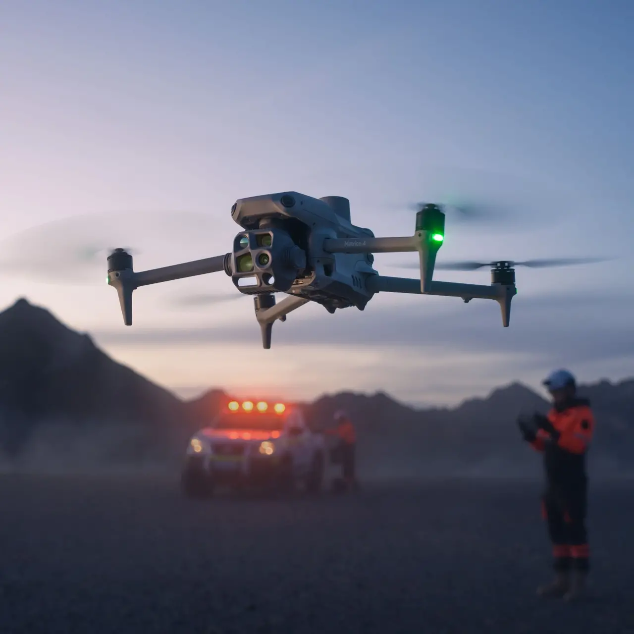
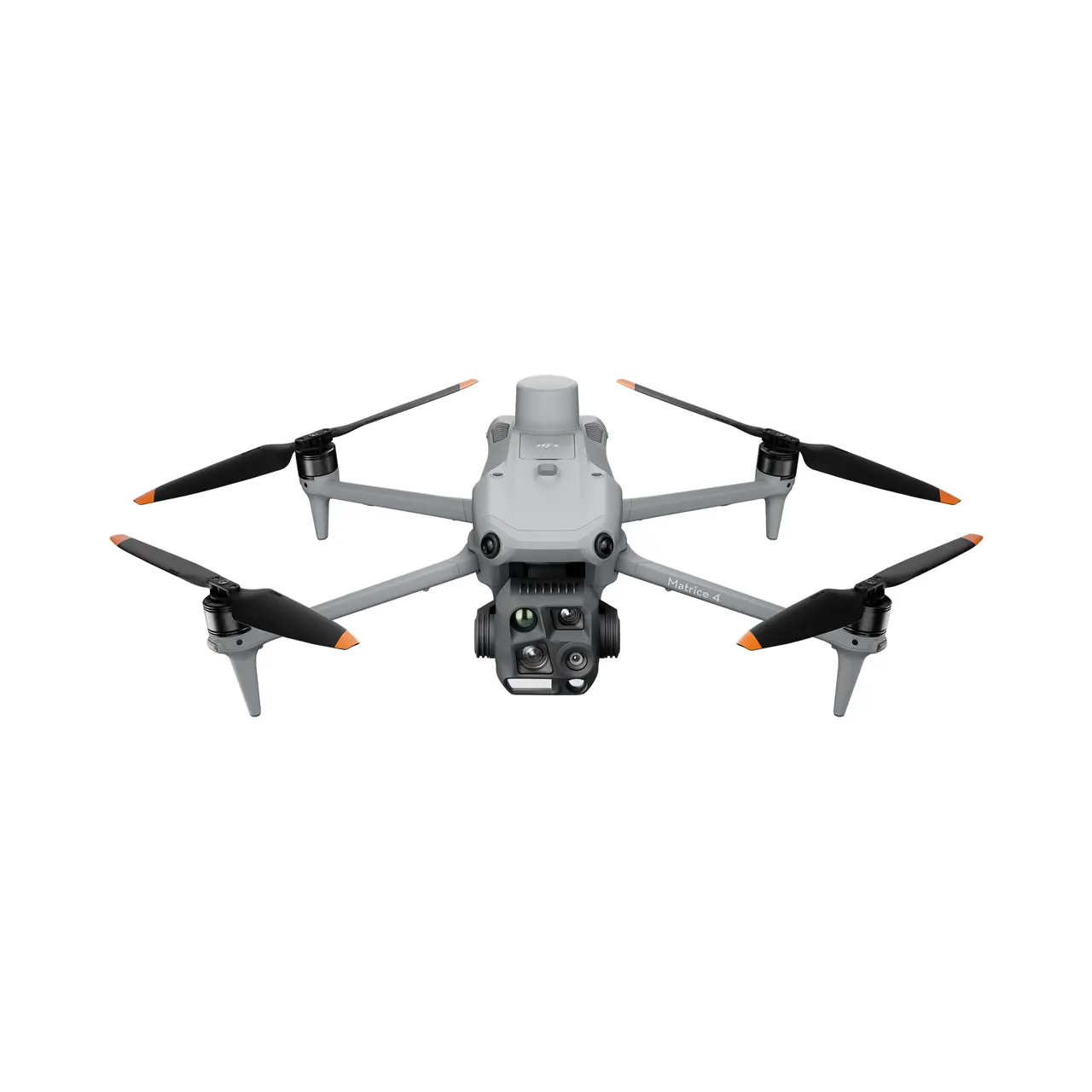
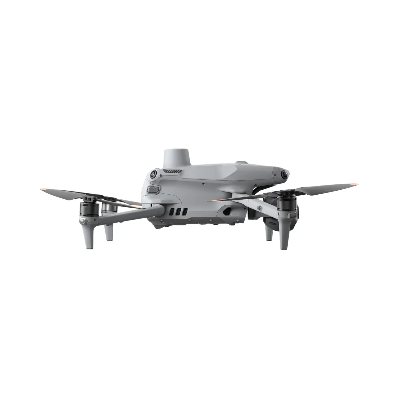
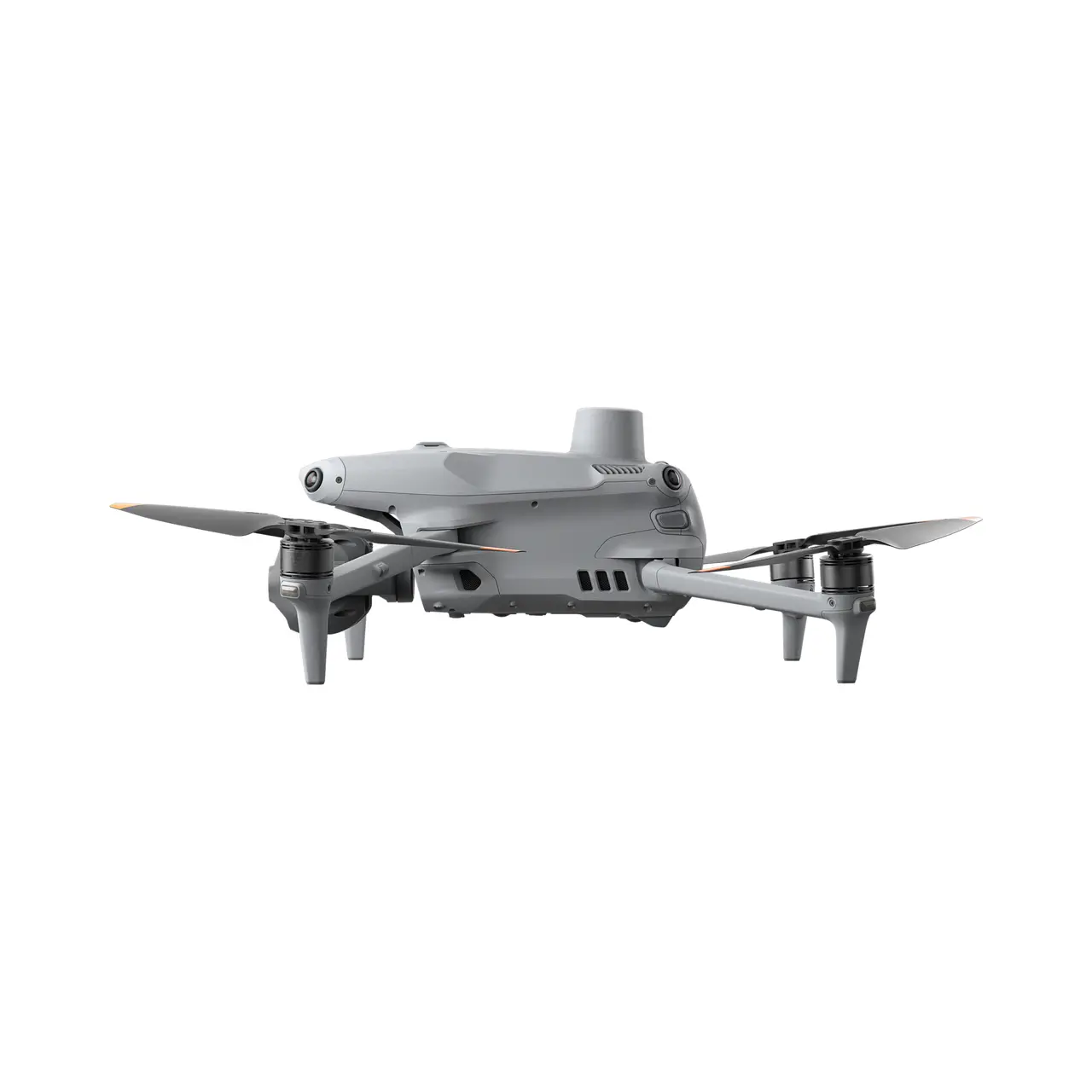
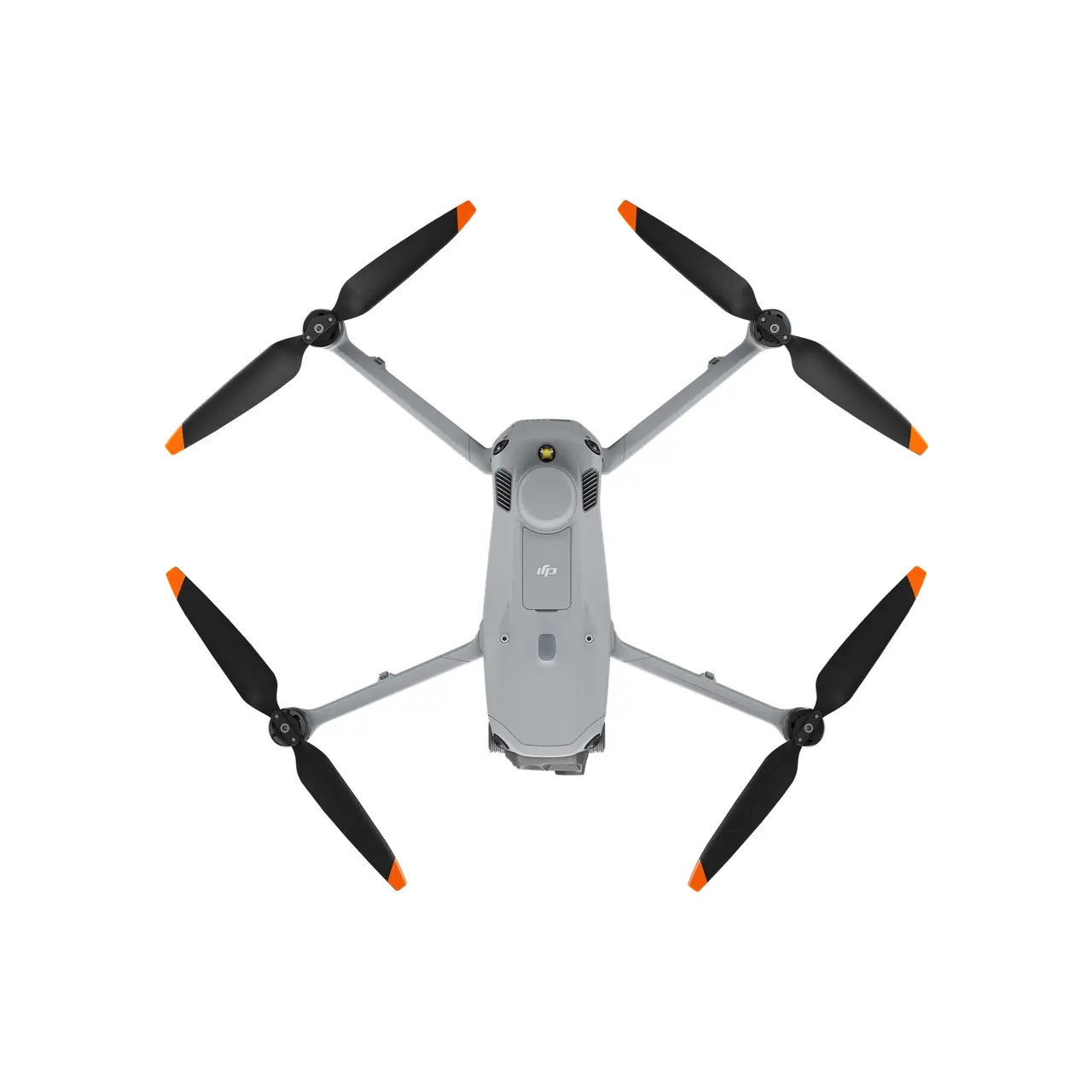
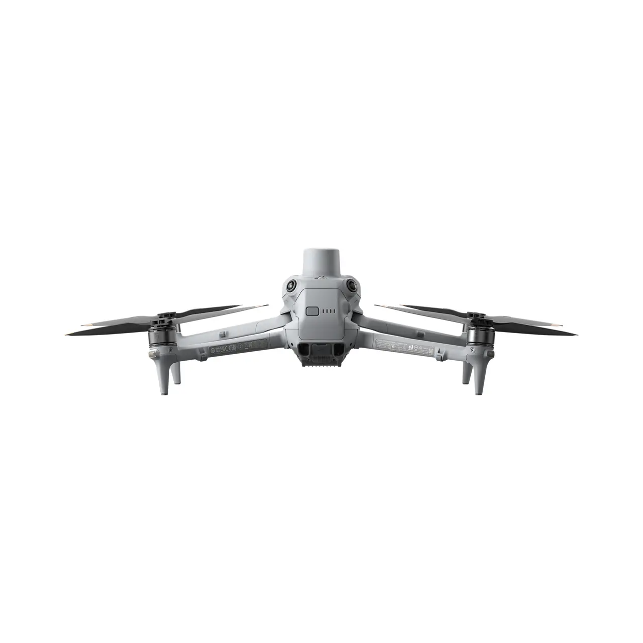
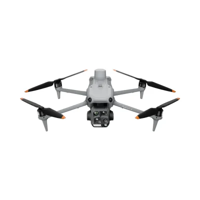



The DJI Matrice 4 Thermal Combo adds extended field capability to the multi-sensor Matrice 4T platform. It is suited to inspection, emergency response, public safety and forestry work where thermal and low-light performance are important.
Key features
- 48 MP wide-angle, medium tele and tele cameras
- 640 × 512 thermal camera with high-resolution imaging mode
- Laser range finder with measurement range up to 1,800 m
- NIR auxiliary light with illumination distance up to 100 m
- AI-assisted detection and intelligent flight functions
Combo contents
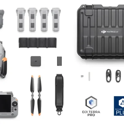
DJI Matrice 4T kit, four Matrice 4 Series flight batteries in total, DJI RC Plus 2 Enterprise controller, WB37 controller battery, charging hub, storage case, DJI Care Enterprise Plus and a three-month DJI Terra Pro subscription.
Highlights
DJI Matrice 4 Series is a compact multi-sensor enterprise drone range designed for intelligent aerial operations across inspection, public safety, mapping, and emergency-response work. Combining advanced imaging, laser rangefinding, AI-assisted functions, and improved low-light capability, it is built to give professional users more situational awareness and faster decision support in the field.
- Intelligent Multi-Sensor Design Combines advanced imaging, laser rangefinding, and smart detection in a compact flagship enterprise platform.
- Two Models, More Flexibility Matrice 4T and 4E let teams choose between thermal-focused operations and geospatial mapping workflows.
- Enhanced Sensing Improved sensing systems help make flight operations safer and more reliable in complex environments.
- Laser Range Finder Built-in laser measurement supports smarter detection, faster assessment, and more precise field decisions.
- Compact Professional Deployment Portable design helps teams deploy quickly without stepping up to a larger enterprise airframe.
- The Age of Intelligent Flight Built for inspection, public safety, mapping, construction, and emergency-response work where fast aerial intelligence matters.

The age of intelligent flight
 DJI Matrice 4 Series is a compact flagship enterprise drone range that combines advanced imaging, laser rangefinding, and smarter sensing for inspection, public safety, mapping, and emergency-response work.
Intelligent multi-sensor design
The series combines multiple imaging tools with built-in laser measurement to give operators stronger aerial awareness in a compact platform.
Two specialised models
Matrice 4T is aimed at electricity, emergency response, public safety, and forestry work, while Matrice 4E is designed for surveying, mapping, construction, and mining.
Compact flagship platform
DJI positions the Matrice 4 Series as a portable but high-end enterprise system for teams that need serious capability without moving to a much larger aircraft.
Smarter field awareness
 The Matrice 4 Series is built to improve situational awareness and field decision-making by combining measurement, sensing, and targeted imaging in one compact aircraft.
Laser range finder
Built-in smart detection and measurement with a laser range finder help crews assess targets and scenes more accurately.
Advanced imaging tools
The platform is designed around enhanced imaging capability to support inspection, response, and geospatial work across a broad range of industries.
Safer, more reliable operations
 DJI also frames the series around improved flight confidence, with upgraded sensing and accessories designed to support more dependable field performance.
Enhanced sensing capabilities
DJI states that flight operations are now safer and more reliable thanks to significantly enhanced sensing capabilities.
Upgraded accessories
Accessories for the Matrice 4 Series have also been significantly upgraded to expand how the platform can be used in practice.
Built for multiple industries
 The Matrice 4 Series is positioned as a flexible enterprise tool for teams working across inspection, response, mapping, and specialist operational environments.
Public safety and inspection
The Matrice 4T is aimed at electricity, emergency response, public safety, and forestry conservation where rapid aerial intelligence matters.
Geospatial and construction
The Matrice 4E is designed for surveying, mapping, construction, and mining workflows where compact deployment and stronger measurement support are valuable.