
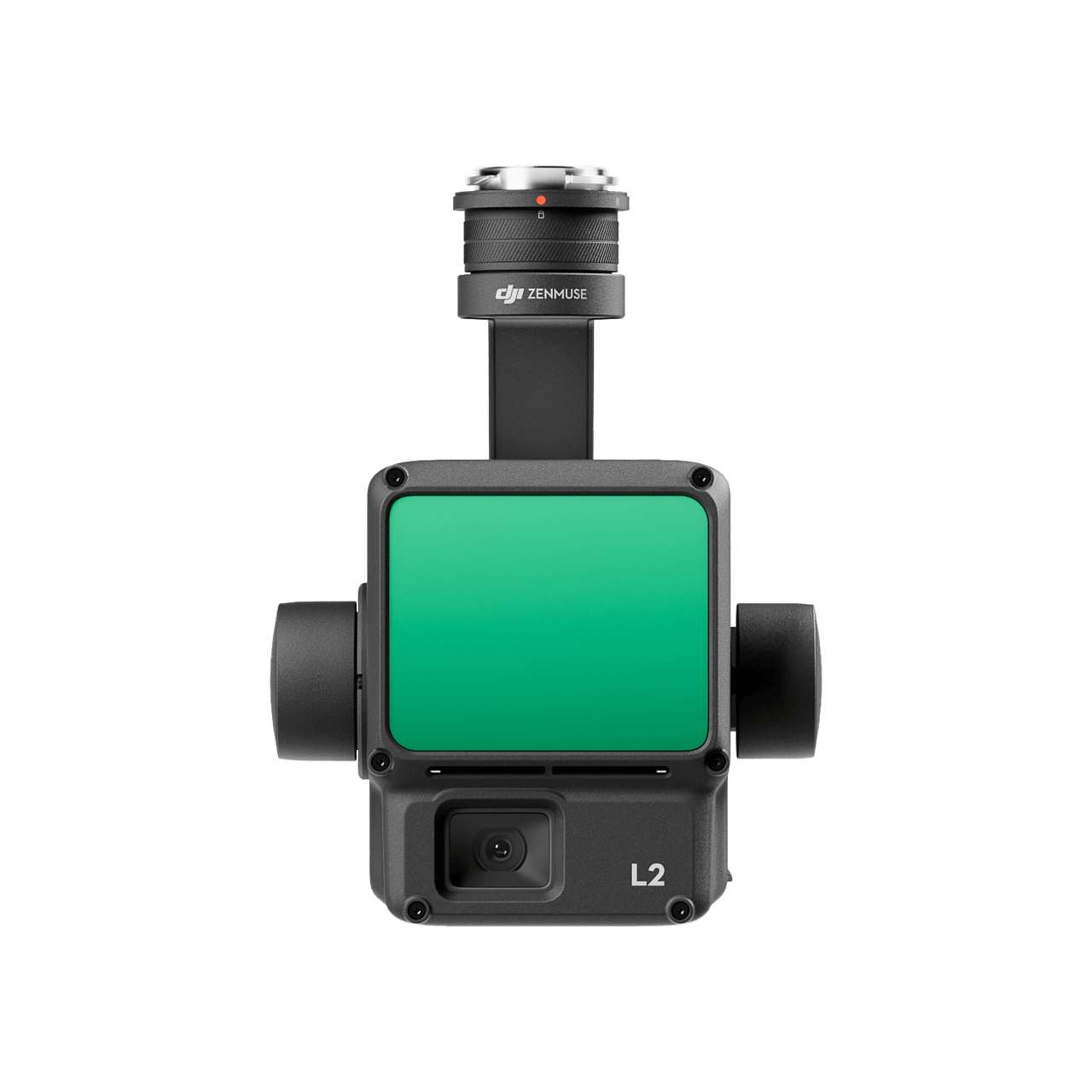
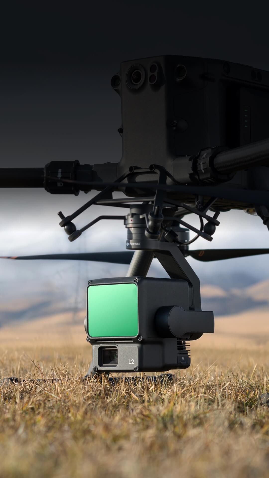
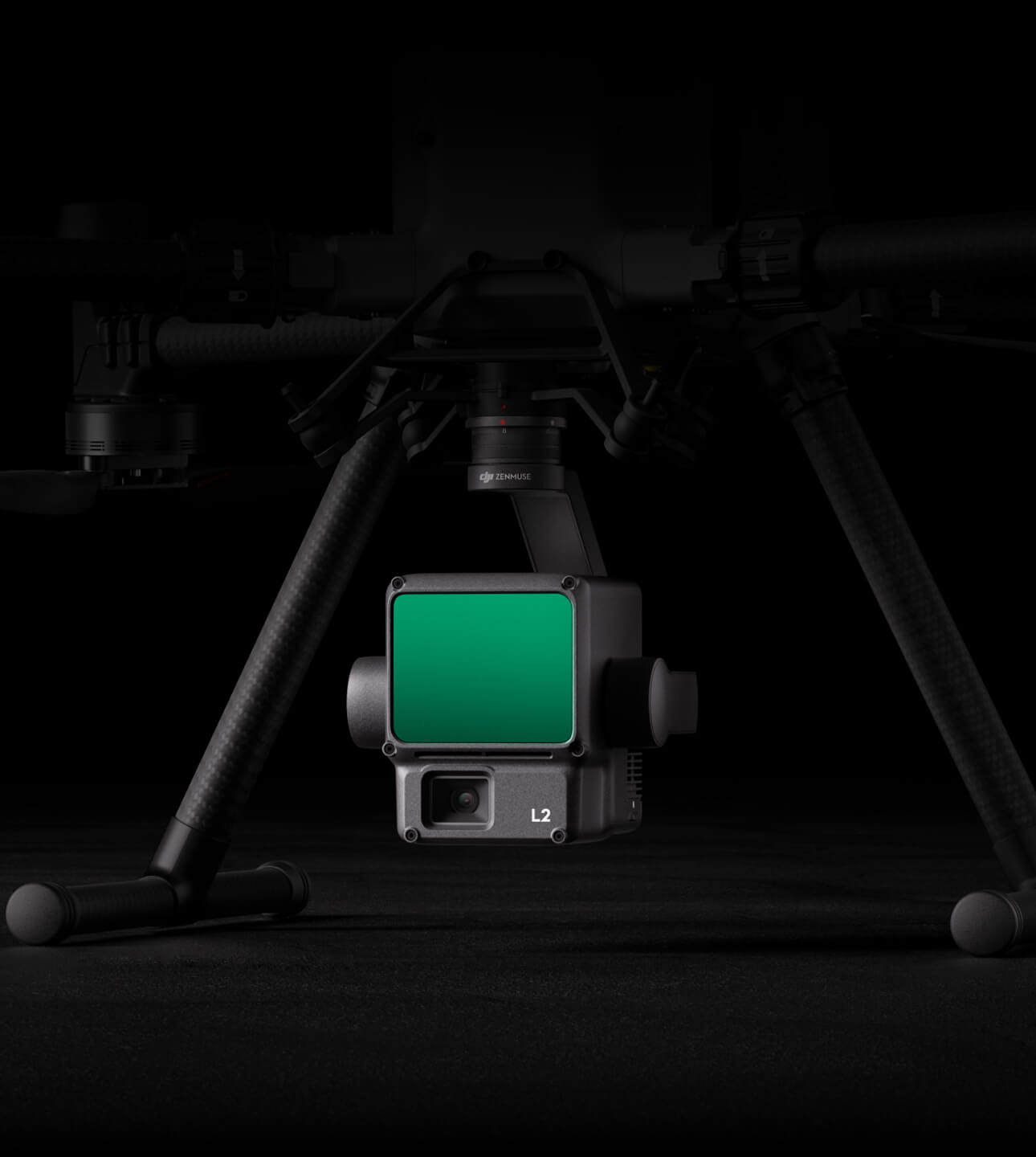

DJI Zenmuse L2 is a high-precision aerial LiDAR system that combines frame-based LiDAR, a self-developed high-accuracy IMU, and a 4/3 CMOS RGB mapping camera in one integrated payload. Designed for DJI enterprise flight platforms, it is built to deliver more precise, efficient, and reliable geospatial data acquisition, especially when paired with DJI Terra for end-to-end 3D data collection and post-processing.
Key features
- High Precision Delivers 4 cm vertical and 5 cm horizontal accuracy for demanding professional geospatial work.
- Exceptional Efficiency Can cover up to 2.5 km² in a single flight for faster surveying and mapping workflows.
- Superior Penetration Smaller laser spots and denser point clouds improve data capture in more challenging environments.
- 450 m Detection Range Strong detection range helps operators capture useful data at greater stand-off distances.
- 5 Returns Multiple-return capability improves point-cloud quality in vegetated and more complex surfaces.
- Turnkey Solution Works with DJI Terra to create a more complete capture, processing, and delivery workflow.
Powerful range, elevated precision
DJI Zenmuse L2 is a high-precision aerial LiDAR system that combines frame-based LiDAR, a self-developed high-accuracy IMU, and a 4/3 CMOS RGB mapping camera in one integrated payload for faster and more reliable geospatial data acquisition.
Frame-based LiDAR
The L2 is built around a frame-based LiDAR system designed to improve the speed, precision, and reliability of professional 3D data capture.
High-accuracy IMU
Its self-developed IMU helps strengthen data quality and supports more dependable geospatial results across demanding survey workflows.
4/3 CMOS RGB camera
The integrated RGB mapping camera adds richer visual context alongside LiDAR capture, helping teams produce more complete survey outputs.
Higher precision, stronger confidence
DJI positions the Zenmuse L2 as a more capable surveying payload not only because of its hardware integration, but because of the way it improves confidence in everyday geospatial work.
High precision
DJI highlights the L2 around high-precision aerial data acquisition, making it suitable for survey-grade mapping and inspection workflows.
Higher efficiency
The payload is designed to improve operational efficiency so teams can capture more useful data in less time across larger projects.
Built for tougher environments
The Zenmuse L2 is also framed around stronger penetration and longer detection performance, helping it work more effectively in more complex real-world settings.
450 m detection range
DJI states that the L2 can detect objects from up to 450 metres under specified conditions, improving operational safety and efficiency.
Five returns
Five-return capability helps improve point-cloud quality in more complex surfaces and vegetation, making the payload more useful in demanding mapping environments.
A turnkey geospatial workflow
DJI presents the Zenmuse L2 as part of a broader end-to-end workflow, helping teams move more smoothly from airborne capture to processed deliverables.
Works with DJI Terra
When paired with DJI Terra, the L2 forms a more complete 3D data-collection and post-processing solution for professional users.
Supported on key enterprise aircraft
The payload is designed for Matrice 400, Matrice 350 RTK, and Matrice 300 RTK, giving teams a practical route into high-precision LiDAR workflows.
Product package
Includes DJI Care Enterprise Basic