Deliver automated, repeatable monitoring, inspections, and mapping missions 24/7, ensuring continuous data collection and operational efficiency.
Rapidly assess assets, reduce costs, and improve efficiency with easy-to-deploy aerial data solutions.
Operate without the need for on-site drone teams, enhancing flexibility, safety, and response times through fully remote operations.
Navigate real-time site visibility, providing instant awareness of activities and potential hazards.
From pre-flight planning, through to post-flight processing and delivery, we support every stage of your drone operations.

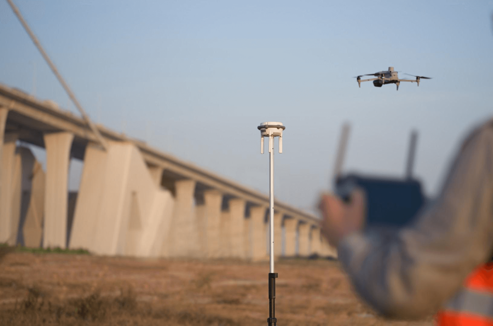
Accurate aerial survey solutions for confident planning, safer operations, and reliable project intelligence

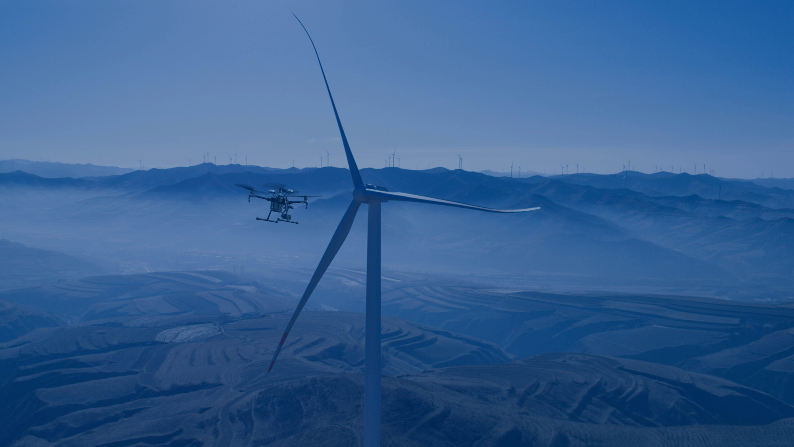
Autonomous wind turbine inspections for safer maintenance, reduced downtime, and consistent long-term asset visibility

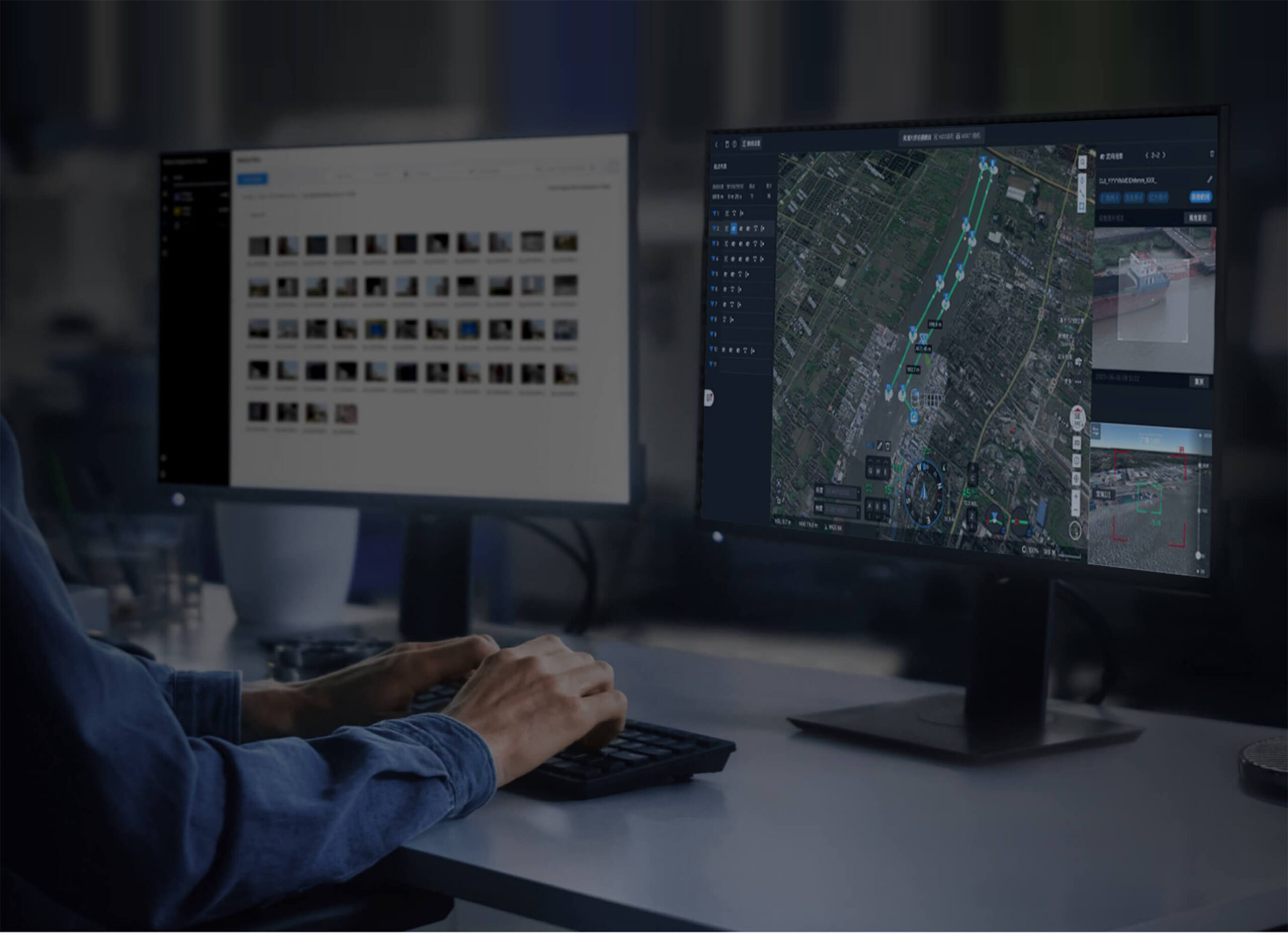
Autonomous aerial security patrols for smarter site monitoring, faster response, and improved operational visibility

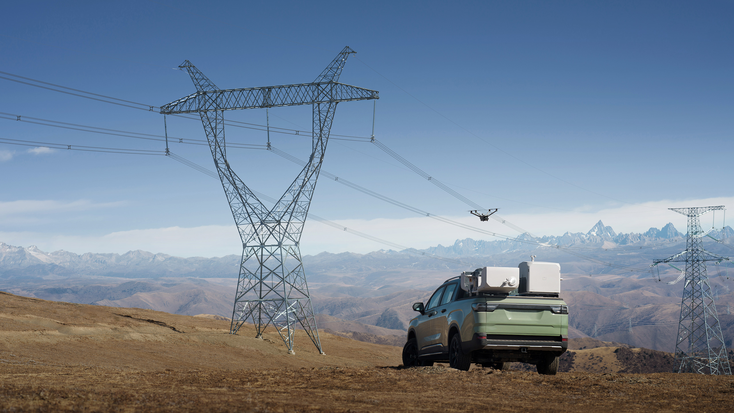
Autonomous infrastructure inspections for safer asset monitoring, earlier defect detection, and more efficient maintenance planning

Autonomous drone surveys for safer data capture, repeatable mapping, and more efficient site monitoring