
Fast & accurate Drone Aerial Mapping
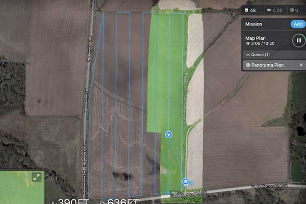
Mapping by drone is the most efficient way to accurately map topography, large vertical buildings and structures, to ensure optimum coverage, photo overlap and detail. Incredible Group’s professional drones (UAVs) are equipped with high resolution cameras which shoot aerial photographs for a wide variety of commercial mapping uses.
Incredible Group’s commercial drone fleet can fly at varied elevations, mapping in and outdoors. We have CAA Part 102 Unmanned Aircraft Operator Certification – enabling our Certified drone operators to fly beyond Part 101 restrictions. E.g. over 120m (400ft) high / day and night / in (approved) controlled airspace / over people and private property.