Drone Services
Incredible aerial photos and videos by Drone – including inspections, surveying, 3D mapping and modelling.
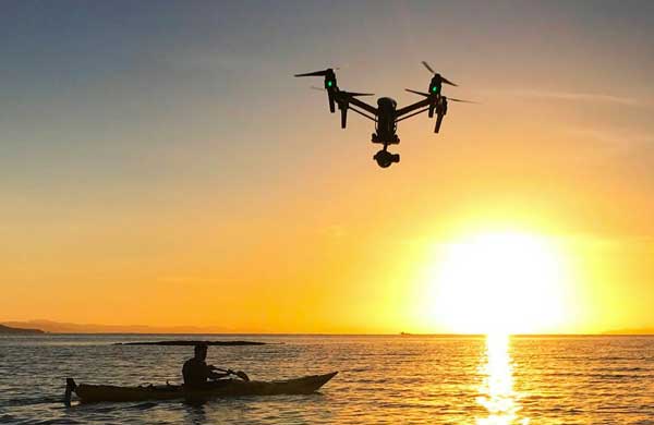
Incredible Group shoots by drone throughout New Zealand. Long range, over and under water, up mountains, at night, indoors … You name it, our drones have done it!
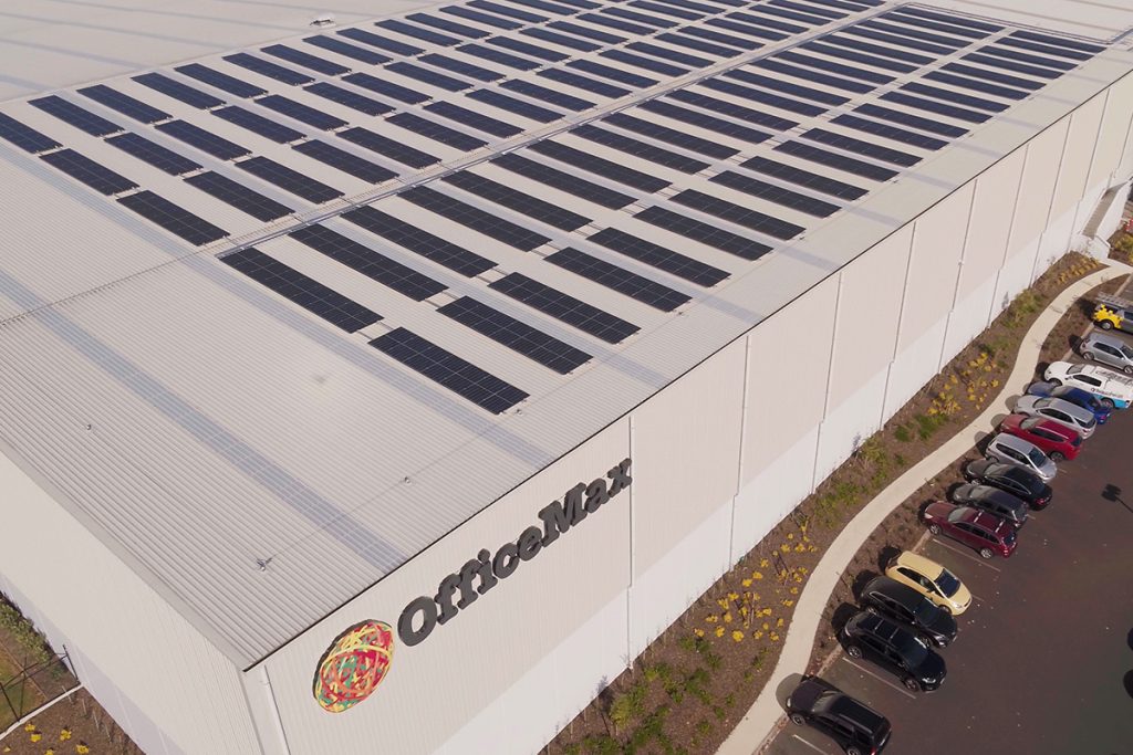
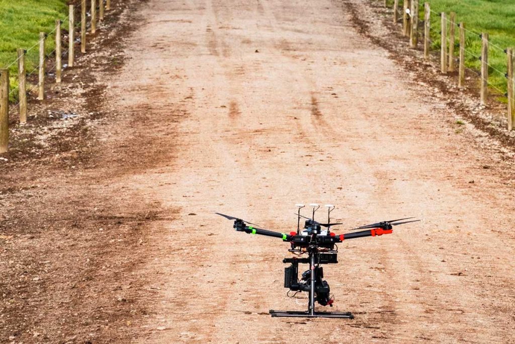
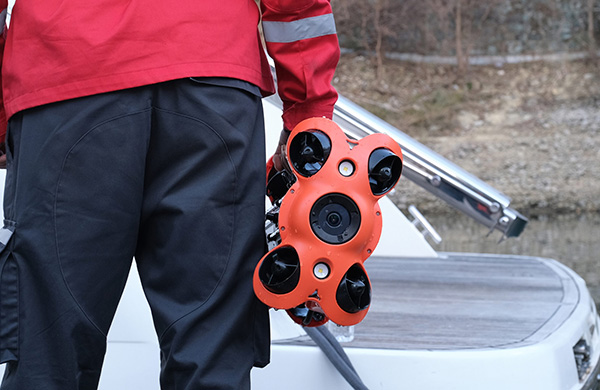
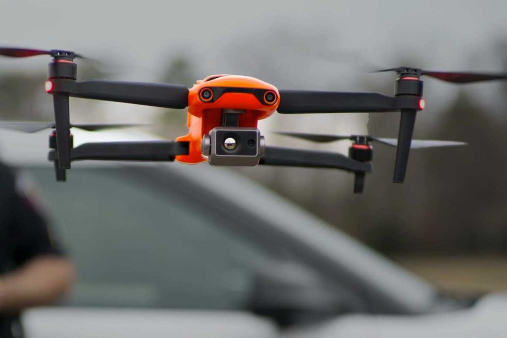
Our professional drone fleet includes a Thermal Imaging drone, and Underwater drone. Previous work includes industrial, utilities, infrastructure, property development and real estate projects.
Drone Photos: High resolution / 4K Ultra High Definition. Retouching included.
Drone Videos: High Definition / 4K Ultra High Definition / Cinema-quality 6K UHD.
Image delivery and storage are included. Photo and Drone Video packages, professional pre and post-production (e.g. scripting, voiceovers, animation) available.
We also have a Royalty-free aerial stock photo and video library: NZ Stock Images.
CAA Part 102 UAV Certification
Incredible Group has Part 102 UAV Certification from the Civil Aviation Authority of NZ – a huge advantage for clients, compared to Part 101. E.g. we can fly drones over 120m (400ft) high, day and night, and in approved airspace above buildings and people.
Our experienced drone photographers and videographers are also individually Part 102 Certified – ensuring drones are flown safely, with all Permissions obtained (e.g. from local authorities, airfields).
Incredible Group was one of the first New Zealand companies to achieve Part 102 Certification – enabling us to gain many years of invaluable Commercial drone experience and log 11,900+ Safety Verified drone flights.
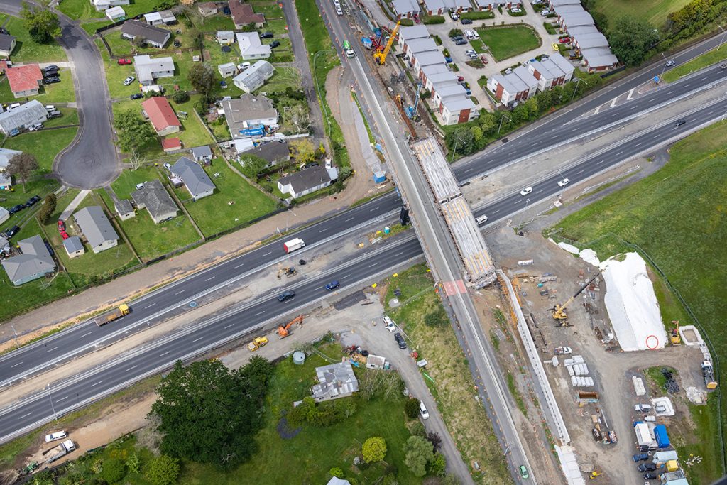
Aerial Smart Data by Drone
Capturing smart data quickly, accurately and safely by drone, is a powerful business tool – solving challenges often faced in private and public sectors.
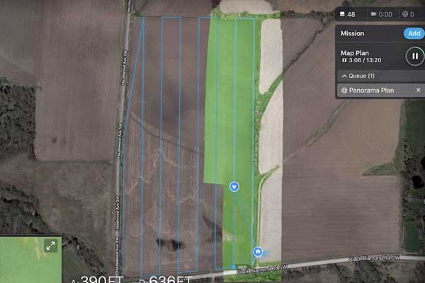
Incredible Group’s highly skilled drone operators use powerful software to ensure accuracy, appropriate coverage and imagery overlap. E.g. to inspect buildings, roofs, assets, utilities, infrastructure. Our specialist skills in drone flyovers of gullies and dips are also invaluable.
We can fly multiple payloads to provide detailed data for surveying, mapping and inspections. E.g. using LIDAR (Light Detection and Scanning – aka 3D laser scanning), and Photogrammetry software to build 3D maps, models and create reports.
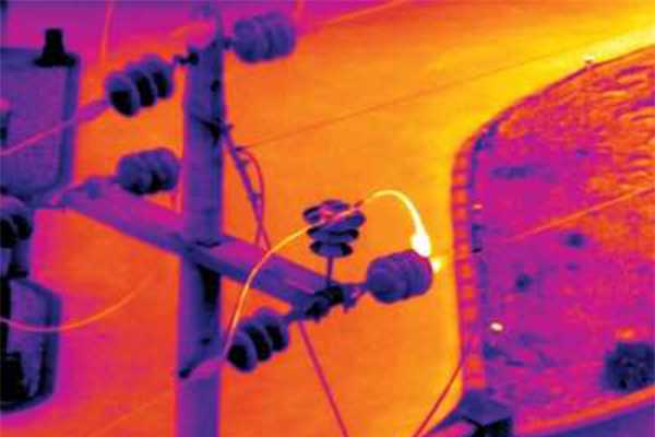
Thermal Imaging Photography
Drone Thermal Imaging uses infrared sensors to check buildings, assets, components and equipment quickly, safely and accurately, for areas of excessive temperature or lost/wasted heat.
We can take our Thermal Imaging drone from case to air in under 30 seconds – ideal for emergency response situations when every second counts! The drone can also be used at night/in low visibility.
Incredible Group invested in the advanced, high-precision Autel Evo 2 Dual Thermal Drone:
• High Resolution Stills up to 8000×6000
• Infrared (IR) Stills up to 640×512
• Up to 40 minutes flight time & up to 9 km range

Our dedicated team of qualified UAV pilots are here to help. Please get in touch so we can help with any questions.
- CAA 102 UAV Operator Certificate
- Experienced Pilots
- 10M Public Liability Insurance
- 60 Years combined experience
- 7000+ flights logged
Video Title
Incredible Images are the ‘go to’ photographers for Commercial & Industrial property throughout the country and are proud to work with New Zealand’s top real estate companies including Bayleys, Barfoot & Thompson, Colliers International, CBRE, Whillans and more. With a team of three very experienced photographers, we can handle the volume demands and ensure that we never miss a deadline.